SWITZERLAND • 2-DAY HIKE • ALPINE PASSES TRAIL
Saas Fee to Gruben
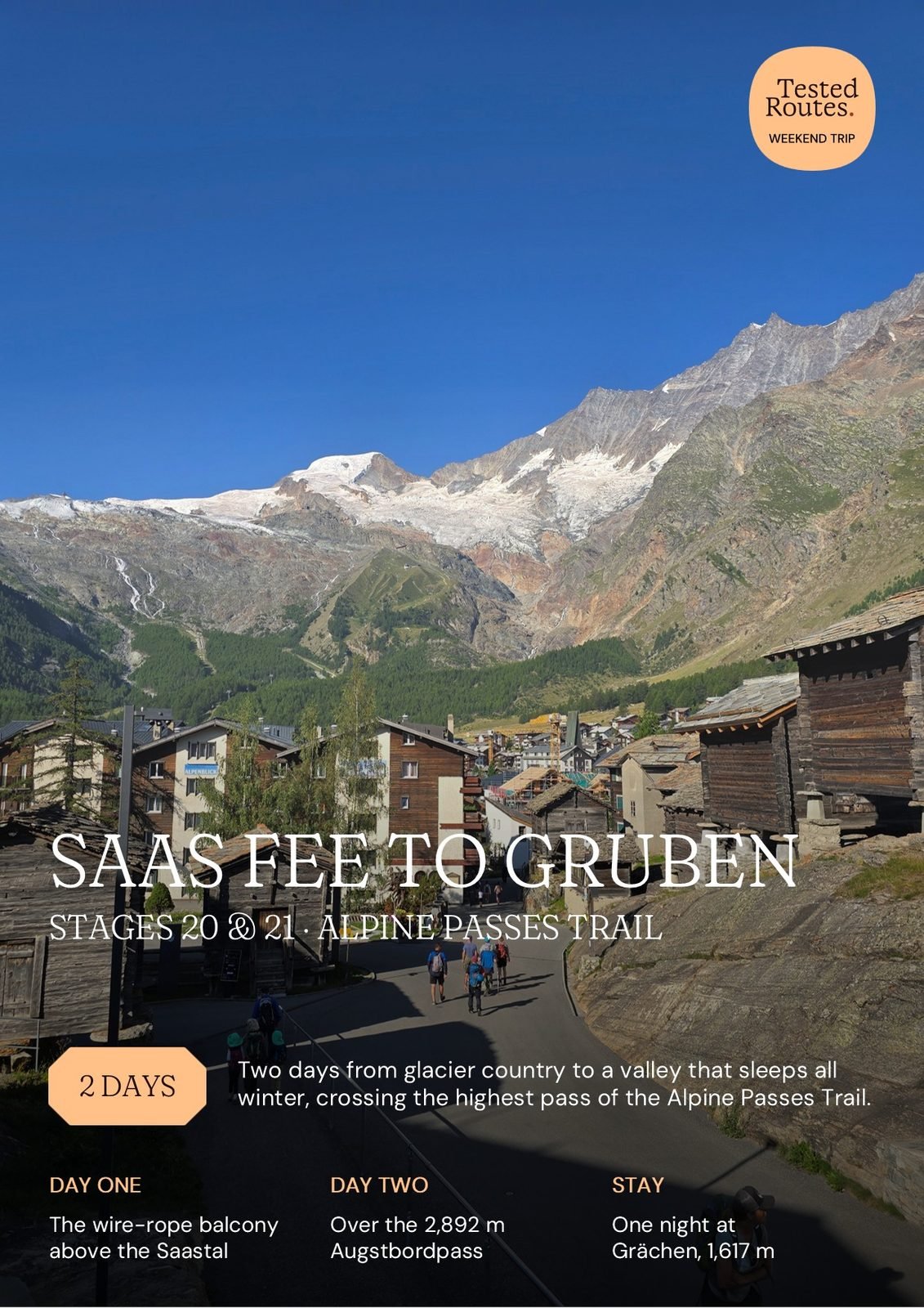
Two days from glacier country to a valley that sleeps all winter, crossing the highest pass of the Alpine Passes Trail. One night on the Grächen sun terrace.

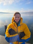
Tested by Paulius Pikelis · 140 countries
Trip details
Duration
2 days
Effort
~18 h walking · ~2,814 m ascent
Altitude
2,893 m highest point
Access
Train + bus, or car
Highlight
The trail's highest pass at 2,892 m
Location
- Starting pointSaas-Fee
- DestinationGrächen
- FinishGruben
- Two stages of the Alpine Passes Trail in a single weekend
- The trail's highest pass at 2,892 m
- Real exposure on secured ledges without technical climbing
- A finish in one of the quietest valleys in Valais
- Comfortable with a 9-hour day followed by another 9-hour day
- Want real exposure with wire-rope security, not technical climbing
- Prefer self-guided independent travel
- Based in Switzerland or Europe with public-transport access
- If exposed ledges are not your thing — Day 1 is long, airy and committed
- If the forecast is unstable — there is no shelter on either stage
- Day 1 and Day 2 hour-by-hour timelines with turnback checkpoints
- Transport plan from Zurich, Bern, Basel, and Geneva — including the phone-booked valley bus home
- Overnight plan for Grächen with a backup if the Walliserhof is full
- Full route map with numbered waypoints and elevation profiles
- Pack list, full cost breakdown, and reservations checklist with QR codes
- Interactive Google My Maps companion with every pin in the guide
Saas Fee to Gruben
The hardest weekend on the Alpine Passes Trail. And the emptiest.
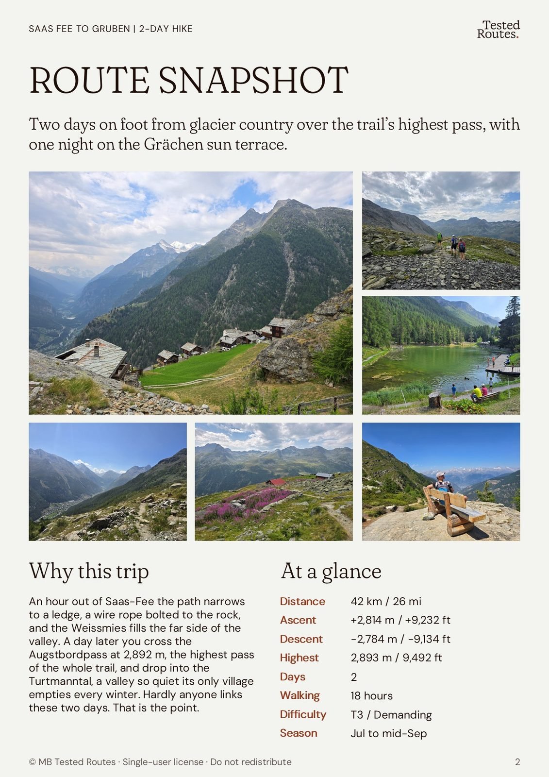
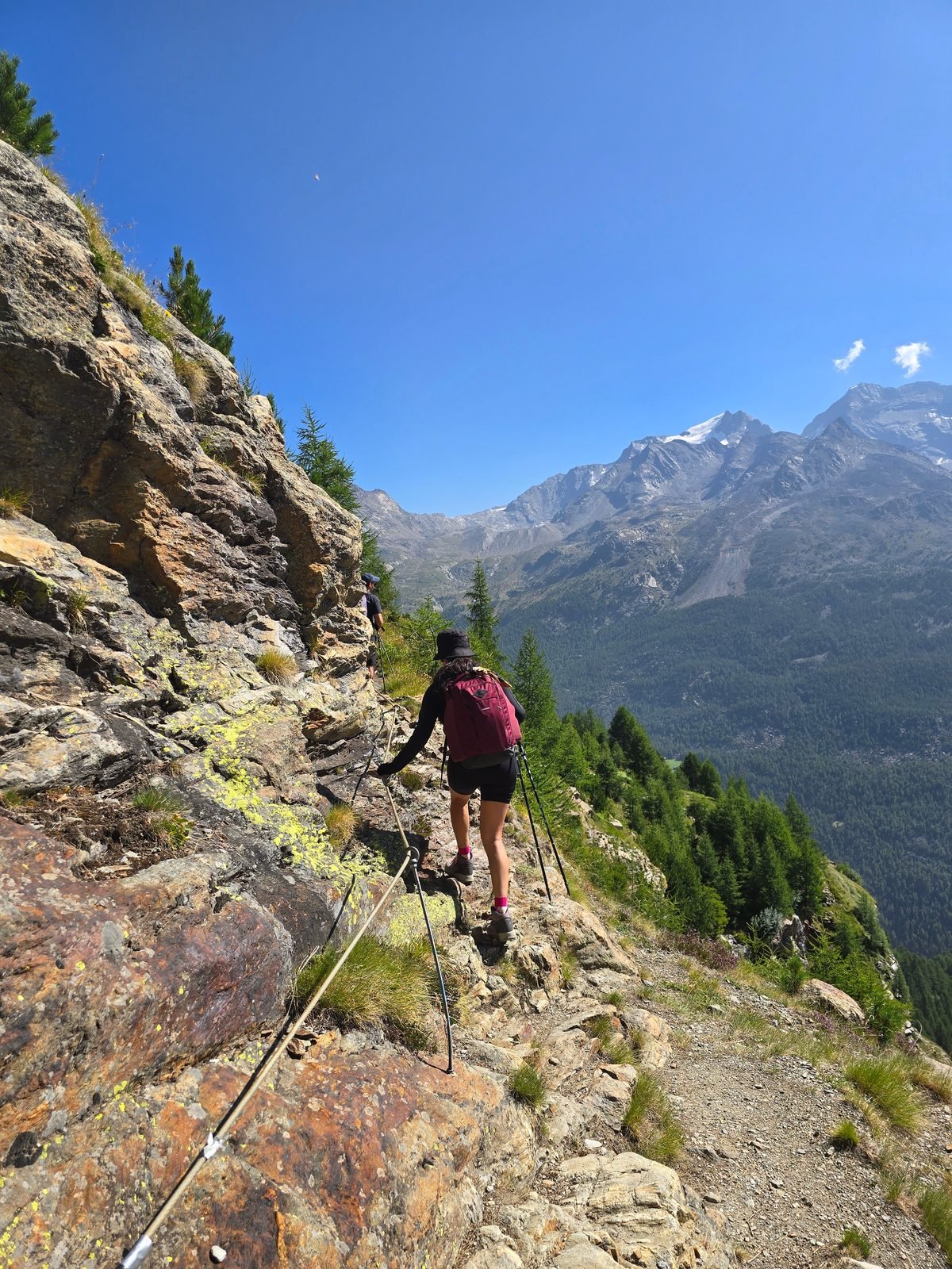
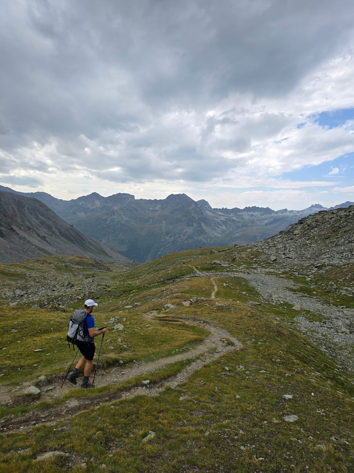
An hour out of Saas-Fee the path stops being a path. It narrows to a ledge with a wire rope bolted into the rock, and the Weissmies fills the entire far side of the valley. We met six people all day, in high season, one valley over from a busy resort. There is a boulder out there with a very long drop behind it, and not everyone in the group was willing to climb it for the photograph.
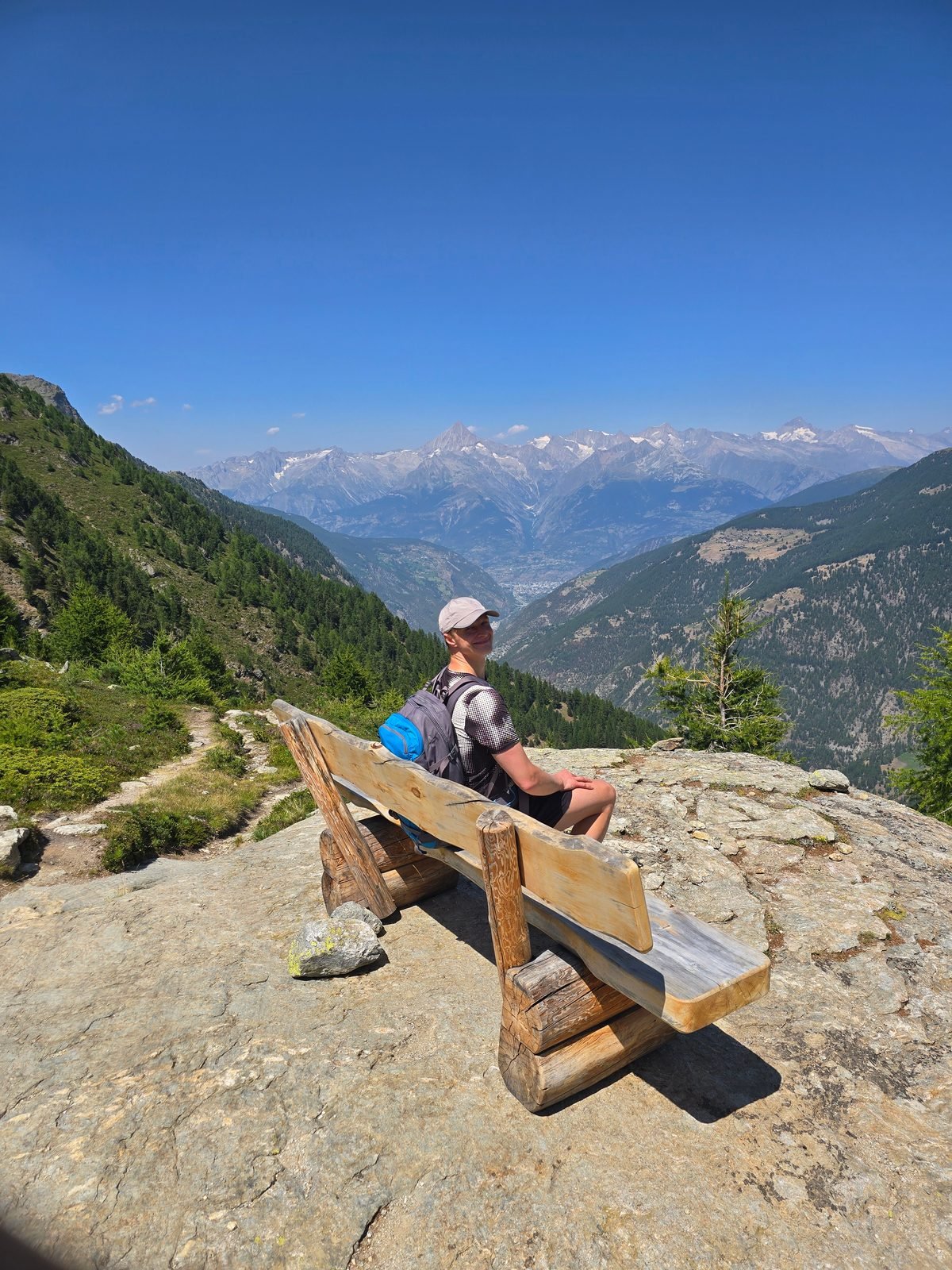
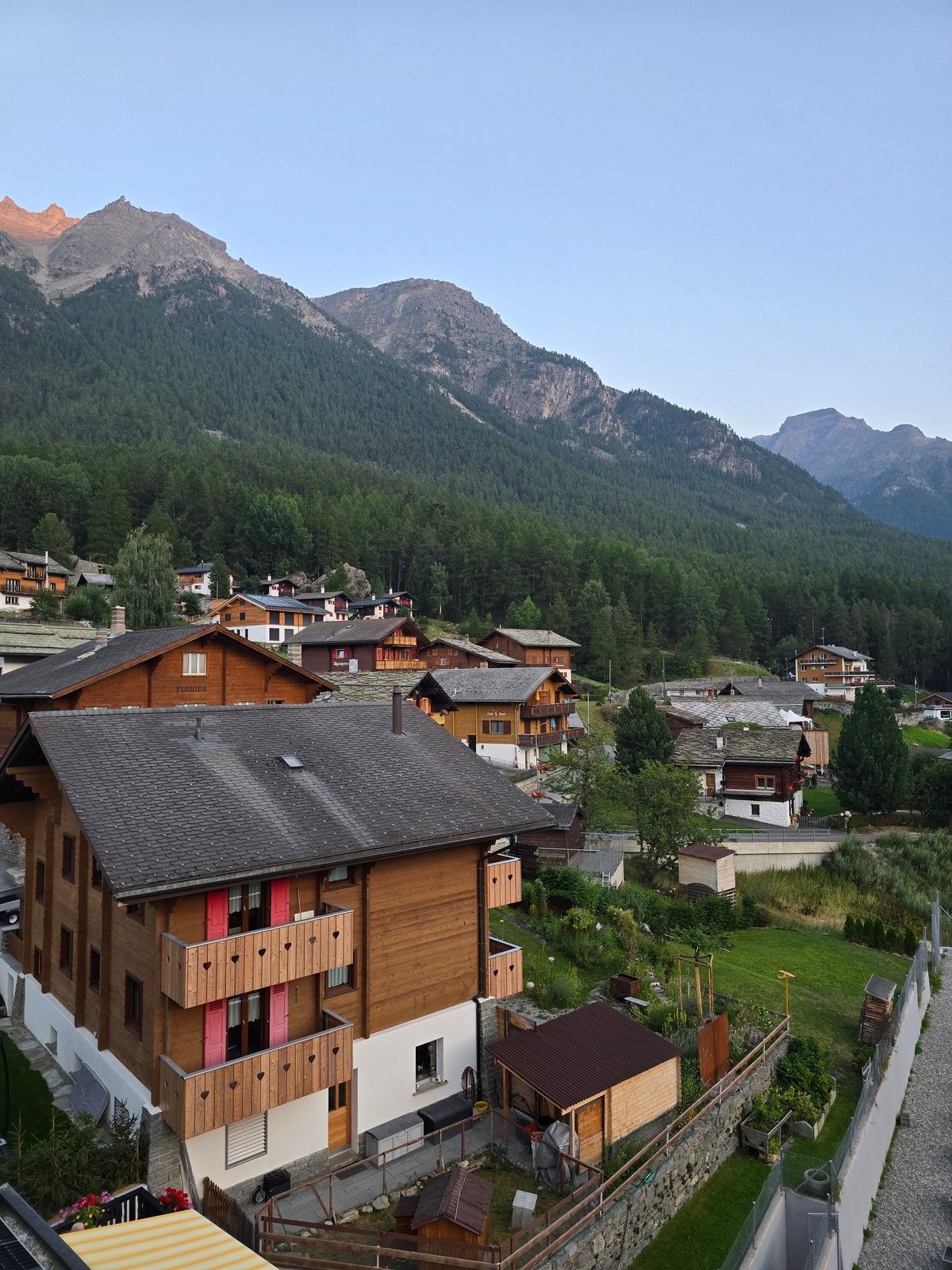
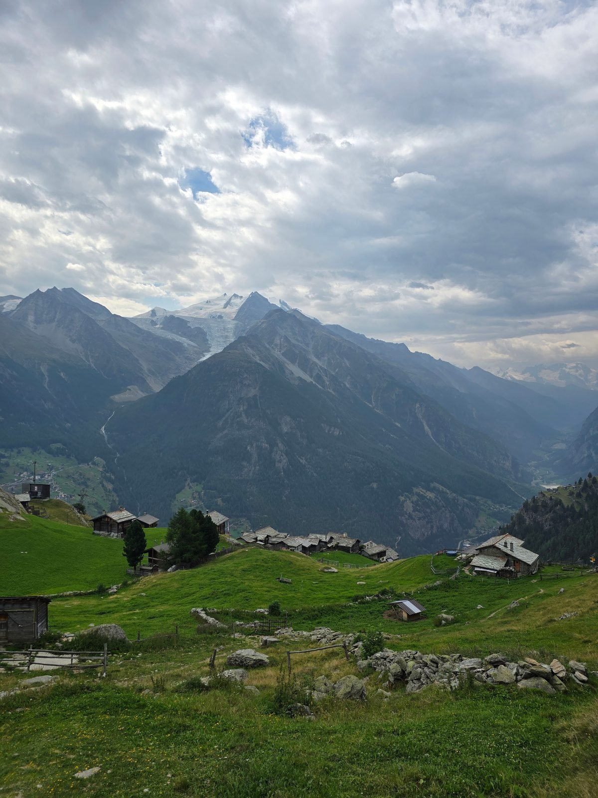
Lunch was whatever we carried, because there is no kitchen up there. Afterwards the trail swings into the Mattertal and the whole cast changes: the Weisshorn ahead, the tip of the Matterhorn beside it, ibex working the slope below a bench somebody placed exactly right. Then a long drop into Grächen, a proper village on a sun terrace with shops, beds and a spa, and the last place you will see any of that.
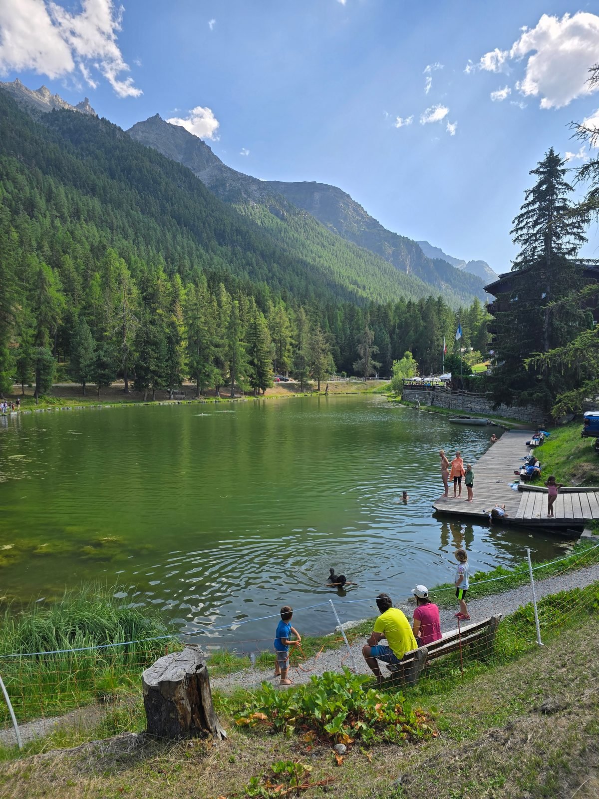
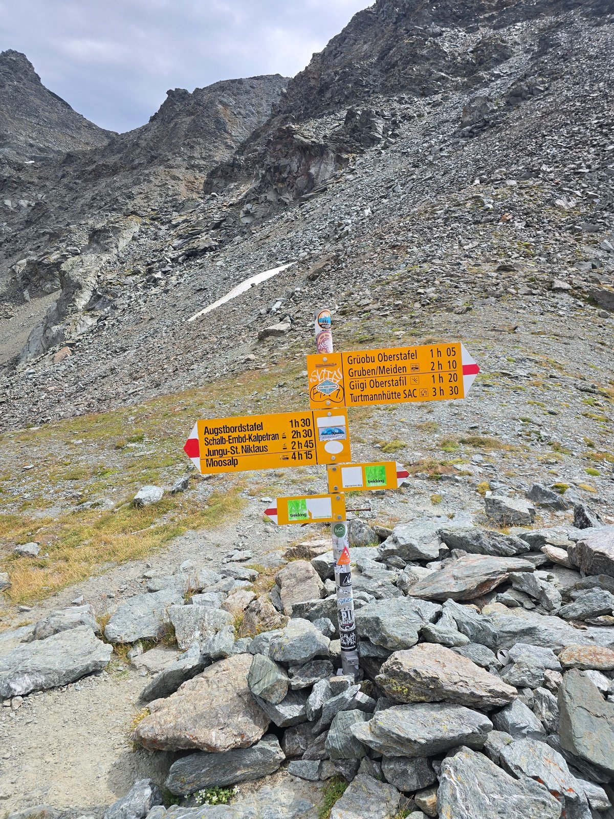
Day two is the biggest day of the weekend. Five hundred metres down to St. Niklaus, then straight back up the old mule path to Jungen with the Matterhorn standing behind you, then a boulder field, then the Augstbordpass at 2,892 metres. Half of Valais opens from the top. On the far side you give away a thousand metres into the Turtmanntal, a valley so quiet its only village empties for winter.
There is a shortcut on day two, a bus and a small cable car that removes about two and a half hours of climbing. Two of our group took it. We did not, spent the morning chasing them, and caught them just below the pass, which felt like winning something nobody else had entered.
Continues in the full guide
The PDF includes the day-by-day plan, transport timings, booking links, and weather rules. Instant download after purchase.
Get the full guide – $11Frequently asked questions
Is this guide up to date?
What format is the guide?
What if the weather is bad on my day?
Can I get a refund if it doesn't work for me?
Travel more.
Waste less time planning.
Premium travel guides built from 15 years of independent travel across 140 countries.
AI hasn't been there. I have.
Get the Guide – $11PDF · Instant download · 30-day refund
$11
PDF · Instant download